
Human activities have become intertwined with how water is distributed across the continents. A new study brings their effects into sharper focus.

Fall color covers the forested slopes of Bieszczady National Park, while patches of polonina, a type of high-mountain meadow, have turned tan.

During El Niño, a cascade of fires across the tropics begins in equatorial Asia and continues in the central and eastern Amazon.

Though it remained offshore, the storm lashed coastal areas with high winds and flooding—and produced remarkable rippling patterns in the upper atmosphere.

If the thought of extraterrestrial objects crashing into Earth weren’t creepy enough, behold Australia’s Spider Crater.

The ice reached its third-lowest maximum extent since satellite observations began.
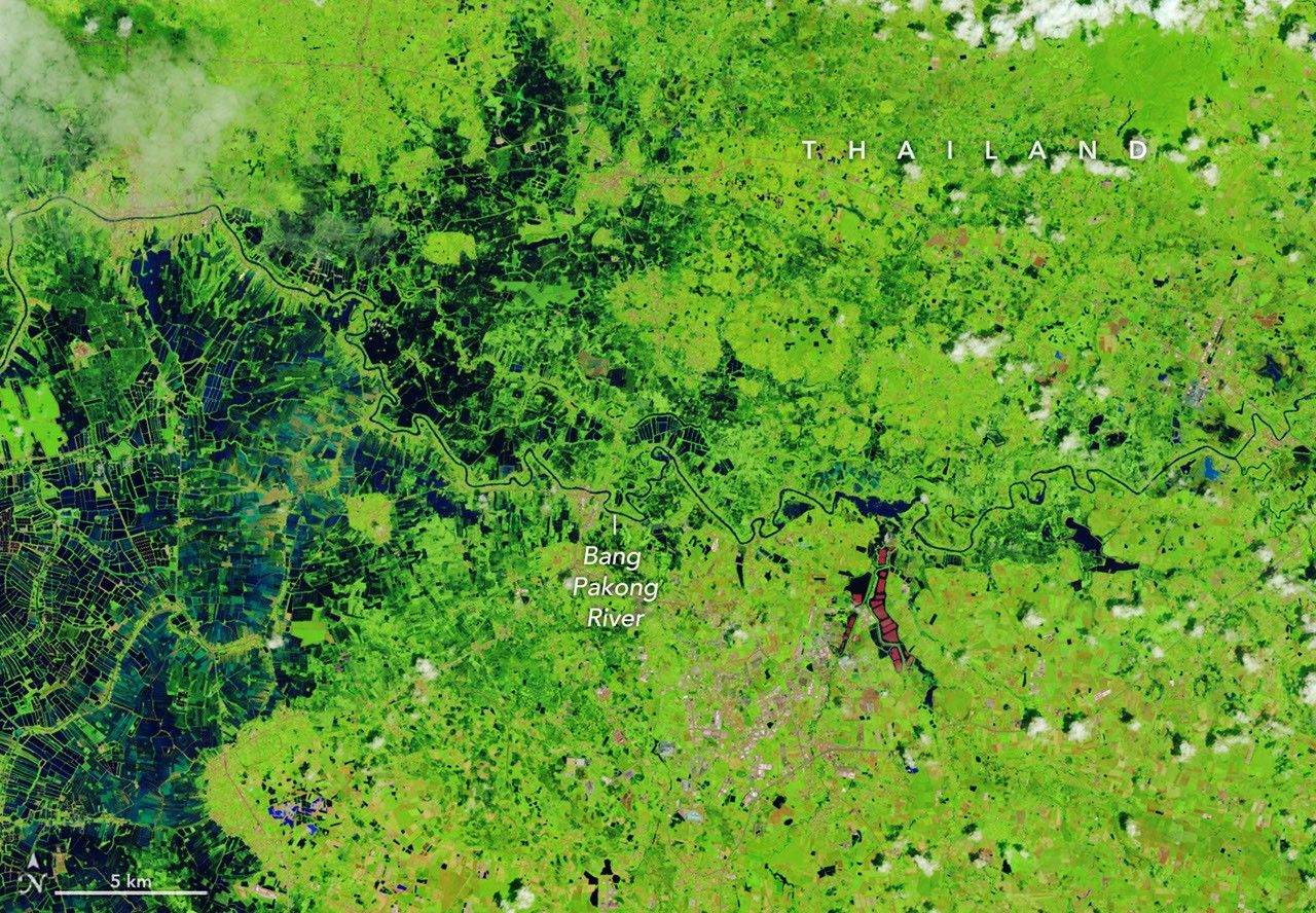
Heavy rains since mid-September have caused widespread flooding that has affected millions of people across the country.
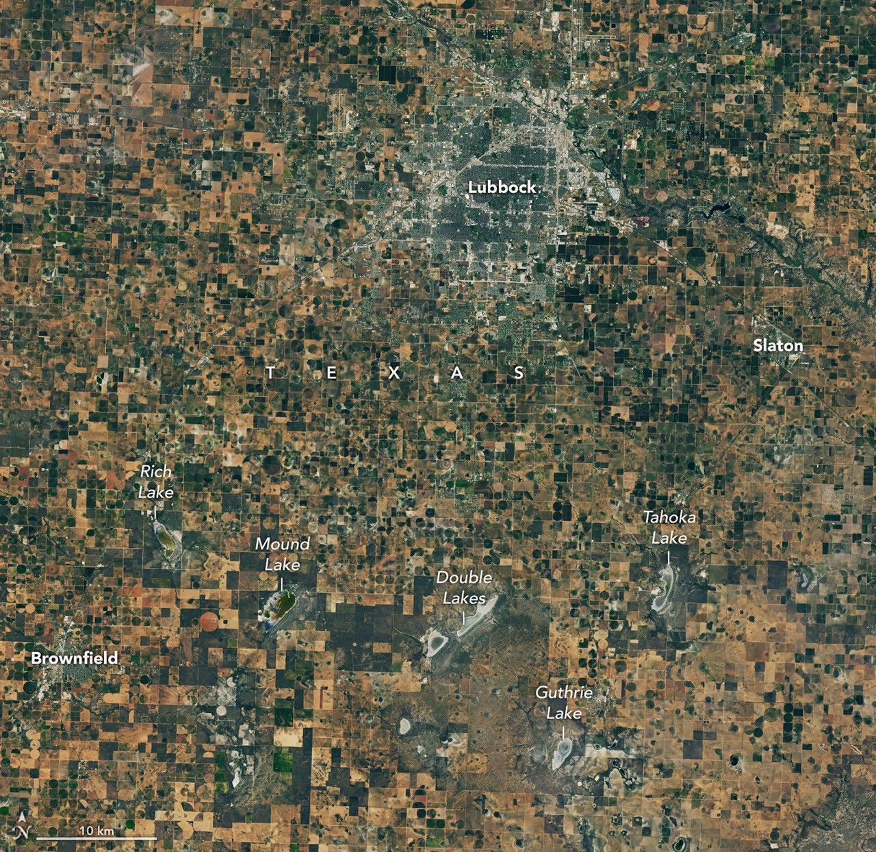
Drought and an ailing aquifer were major topics of conversation when NASA scientists visited with farmers in the Texas High Plains.

Satellite records show Arctic sea ice covering less of the ocean in both winter and summer.

Your challenge is to tell us the location of the satellite image and why it is interesting.