
The ice reached its third-lowest maximum extent since satellite observations began.

Satellite records show Arctic sea ice covering less of the ocean in both winter and summer.

Arctic sea ice reached its annual minimum extent on Sept. 12, according to NASA and the National Snow and Ice Data Center (NSIDC) at the University of Colorado Boulder. The ice covered an estimated 1.78 million square miles (4.6 million square kilometers), tying 2008, 2010, and 2025 for the 10th-lowest minimum in the satellite record. […]
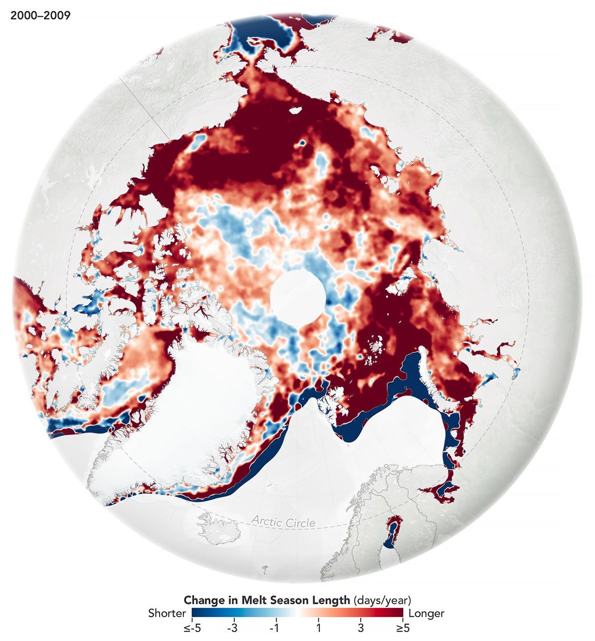
While the sea ice melt season has lengthened dramatically in most of the satellite era, the trend unexpectedly stabilized around 2010.

Experts are analyzing decades of images from Landsat satellites for clues about how the iconic birds have responded to sea ice disruptions in the past.
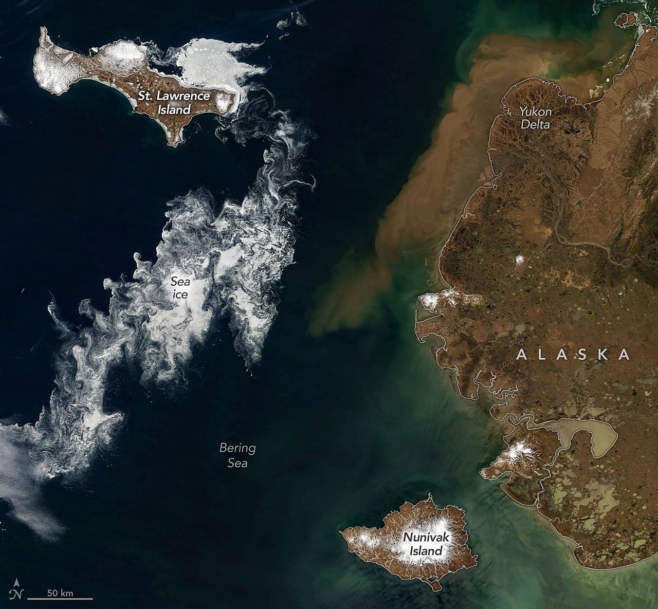
Drifting sea ice fragments near Alaska’s Saint Lawrence and Nunivak islands and colorful water around the Yukon Delta heralded the approach of the summer solstice.

Patches of open water in the region contributed to low sea ice extent across the Arctic in March 2026, which tied with the lowest maximum observed in the satellite record.

During the 2022 summer melt season, sediment plumes and fractured sea ice traced swirling eddies in a branch of the Nansen Sound fjord system in the Canadian Arctic.