
Brown carbon, emitted by wildland fires and tracked over the span of a week in July 2026, worsened air quality in parts of the U.S. and Canada.

The first of six new airborne campaigns will hit the skies this summer.

Canadian wildfires sent plumes of smoke streaming over Ontario, Quebec, and parts of the U.S. Midwest and Northeast.
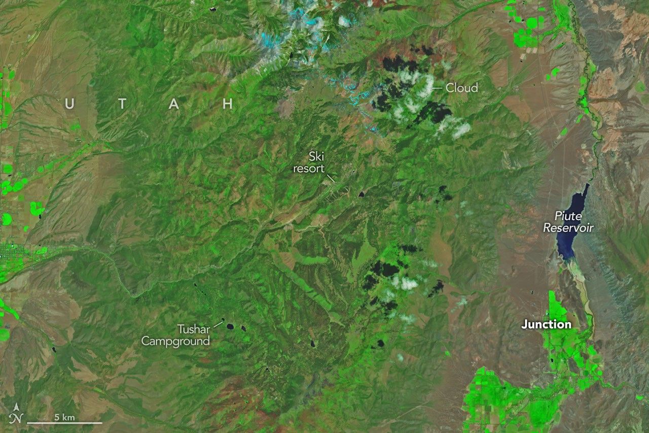
The blaze burned more than 150 square miles and swept through parts of a ski resort.

With the North American fire season underway, and a record number of acres already burned nationwide, NASA’s Plankton, Aerosol, Cloud, and ocean Ecosystem (PACE) satellite’s three instruments are observing vegetation precursors to fires, along with plumes of smoke and their movement. This data will help scientists piece together clues that deepen their understanding of wildfires. […]
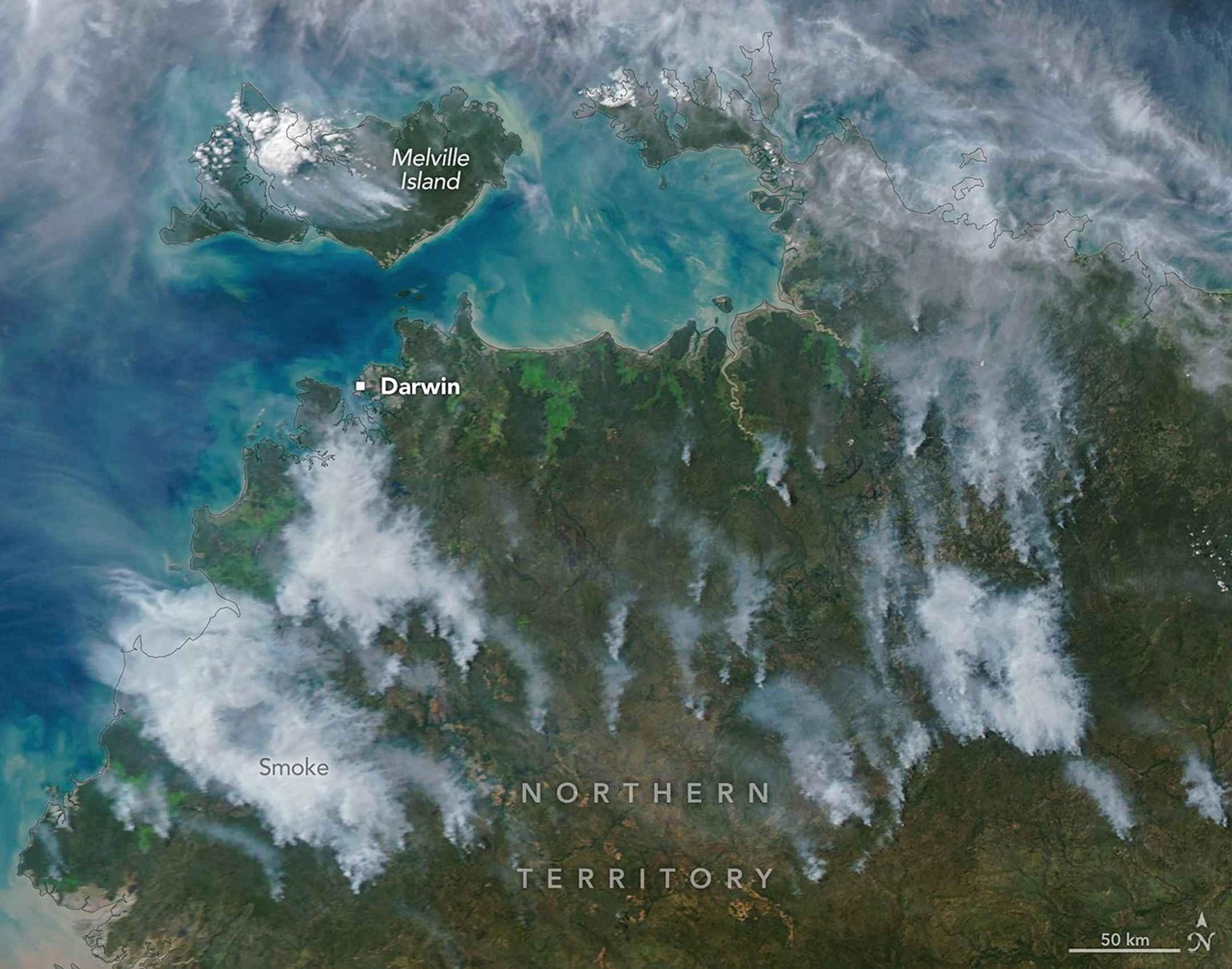
In fire-prone ecosystems in Australia’s Northern Territory, prescribed burns are lit to minimize the severity of fires later in the season.

Over the last decade, wildfires have worsened ground-level ozone pollution across much of the contiguous United States, creating unhealthy air far from active flames.
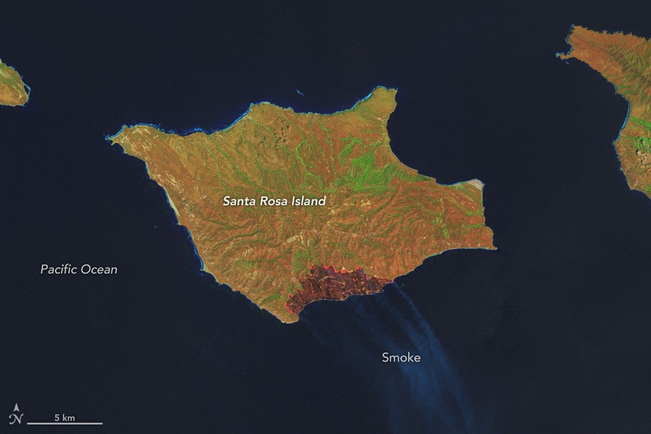
A wildland fire charred grassland, coastal sage scrub, and chaparral across one-third of the island, the second largest of the Channel Islands.
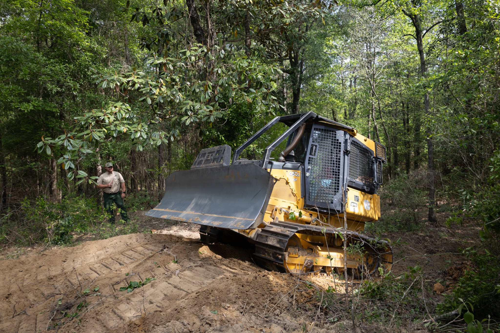
With peak wildfire season approaching, scientists with NASA’s FireSense project have created low-cost thermal sensors to install on fire bulldozers that will alert firefighters when heat from a nearby fire reaches a dangerous level. The sensors also provide researchers with important data on what happens beneath the canopy during a fire. In April, researchers and […]

Firefighters are battling two destructive blazes in the southern part of the state as drought grips the U.S. Southeast.