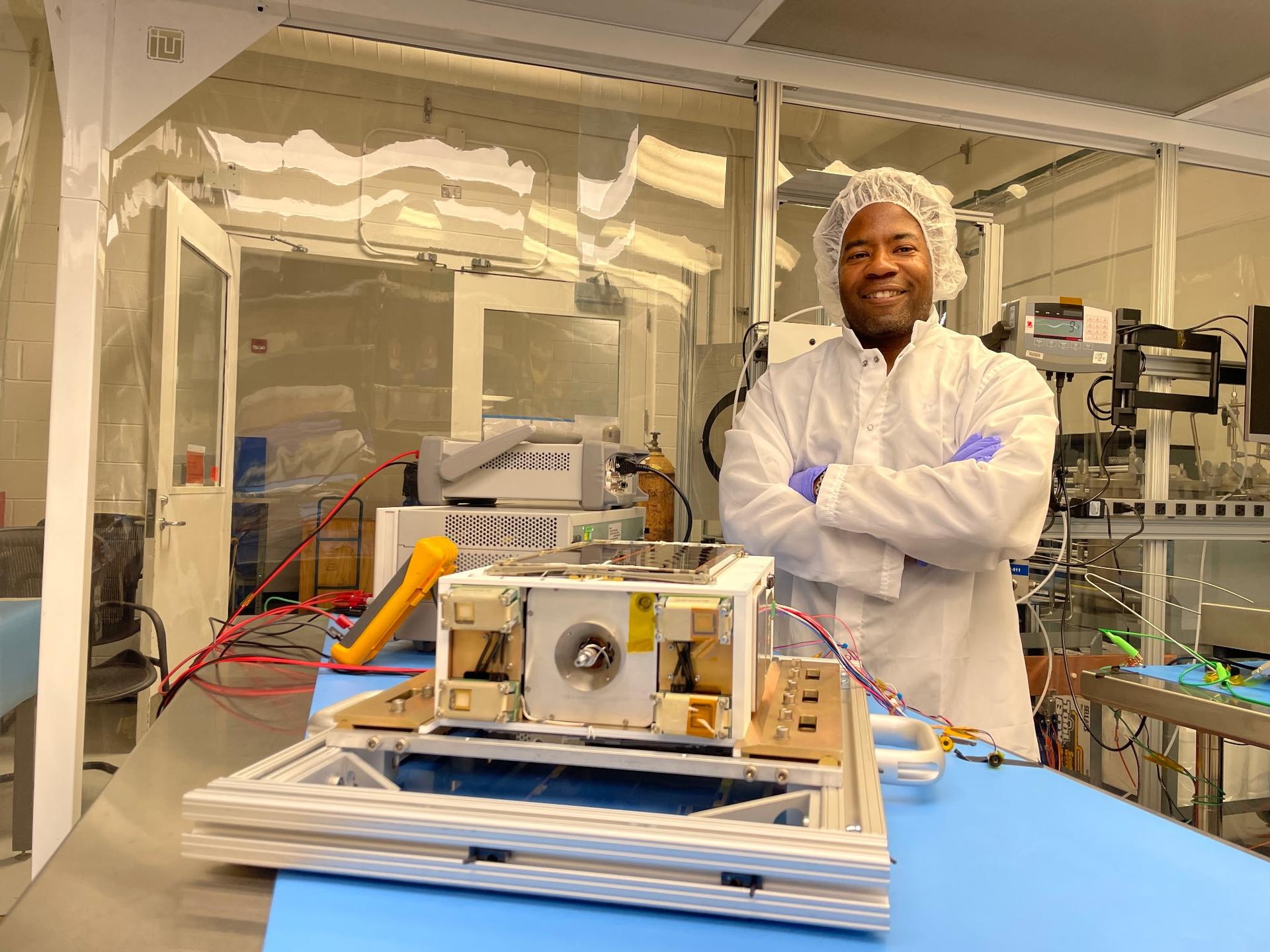
On Sept. 30, 1946, five National Advisory Committee of Aeronautics (NACA) engineers arrived at Muroc Army Airfield in California’s high desert to achieve supersonic flight for the first time. In less than two years, NACA flew the X-1 aircraft faster than the speed of sound, marking an important milestone in aviation history. Fast forward 80 […]
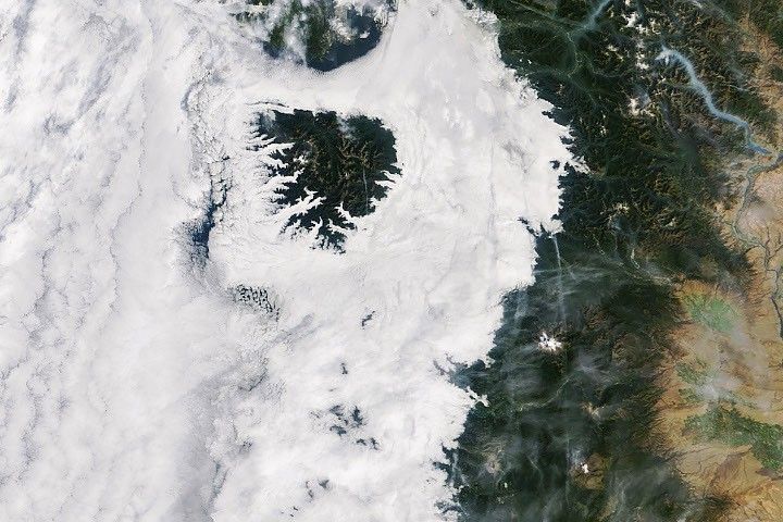
Like tendrils on a vine, lava spreads out from the northern crater of Krasheninnikov, a volcano pair on the Pacific coast of Russia’s Kamchatka Peninsula. On July 30, 2025, an 8.8-magnitude earthquake had struck in the nearby ocean, apparently jolting one of the two volcanoes awake. A few days later, for the first time in […]

Last November, NASA and its European partners launched the Sentinel-6B satellite to improve hurricane forecasts, help protect infrastructure, and benefit commercial industries, including shipping. The satellite now is flying 30 seconds behind its predecessor, Sentinel-6 Michael Freilich. Both satellites are providing precise sea level height measurements during what oceanographers expect to be a historic El […]

Certain kinds of clouds are misbehaving – appearing more often and lower in the sky than they used to. To help identify the factors influencing these changes, scientists have asked people around the world with cameras to submit fresh images of these clouds as a part of the NASA-supported Space Cloud Watch project.
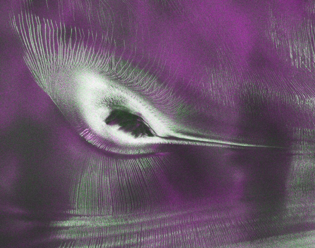
As of July 20, the public can access data from the two powerful radar instruments aboard the NISAR (NASA-ISRO Synthetic Aperture Radar) satellite. Teams in the United States and India will release files processed from the satellite’s L-band and S-band radars on an ongoing basis, helping researchers and other users track the movement of Earth’s […]

Join a national community of precipitation reporters providing critical data to improve scientific understanding and forecasts.
NASA has selected eight new companies and will acquire new data products from six existing Commercial Satellite Data Acquisition contract holders to expand the range of commercial satellite data available to researchers, civil agencies, and decision-makers. Such measurements supplement NASA’s Earth satellites by contributing high-resolution and frequent observations to enhance the agency’s set of data. […]

During the 2025-2026 school year, educators from the NASA Science Activation Program’s GLOBE (Global Learning and Observation to Benefit the Environment) Mission Earth project participated in a specialized Community of Practice led by NASA Langley Research Center to refine how students interact with NASA’s land cover data (MODIS, Landsat, and Sentinel-2).

A compact, multifrequency radar built by a team at NASA’s Jet Propulsion Laboratory will make it easier to collect information about dynamic cloud systems. Called CloudCube, this new instrument simultaneously probes the atmosphere with three radar signals, spanning 36 to 240 GHz, for optimized sensitivity to a wide range of water droplet and ice particle sizes.
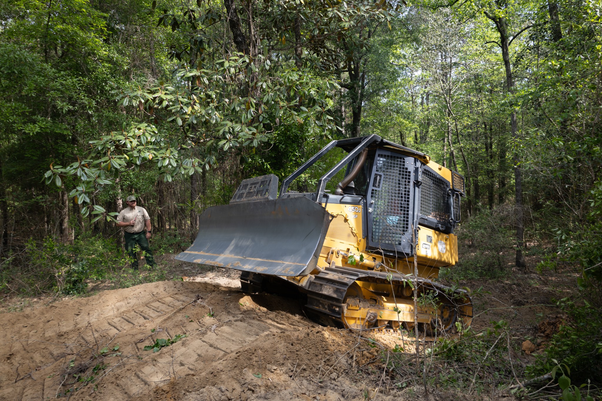
With peak wildfire season approaching, scientists with NASA’s FireSense project have created low-cost thermal sensors to install on fire bulldozers that will alert firefighters when heat from a nearby fire reaches a dangerous level. The sensors also provide researchers with important data on what happens beneath the canopy during a fire. In April, researchers and […]