
The tilt in Earth’s axis of rotation makes the apparent position of continents shift with the seasons in imagery from a NASA camera in deep space.
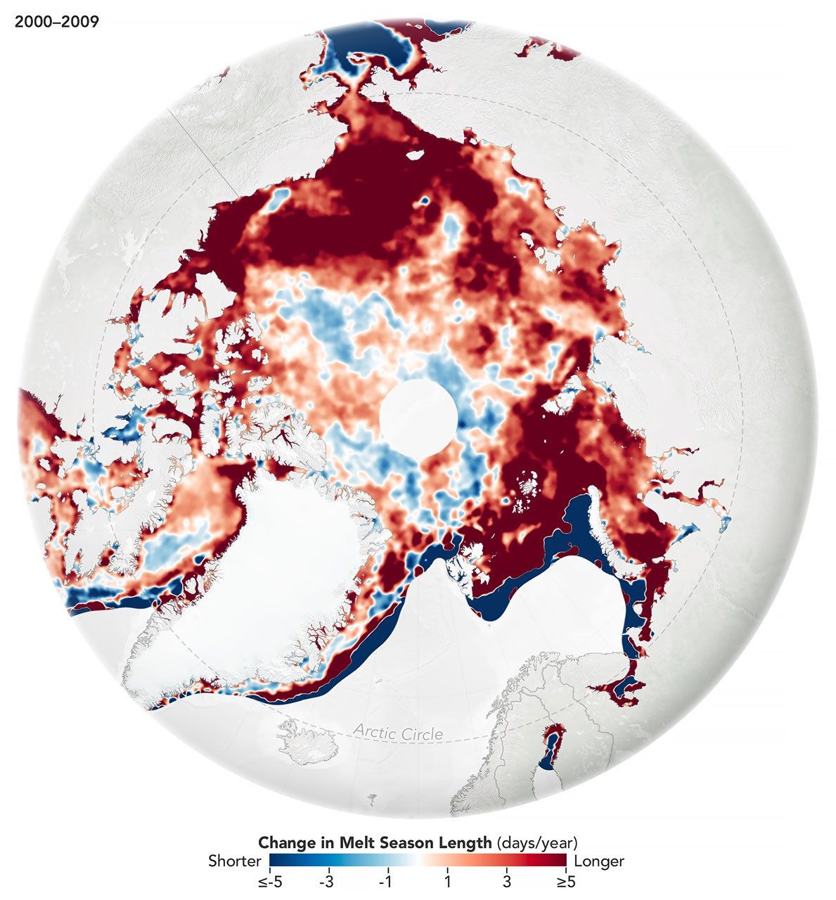
While the sea ice melt season has lengthened dramatically in most of the satellite era, the trend unexpectedly stabilized around 2010.

Temperature records toppled across the central and southern U.S. as the autumnal equinox approached.
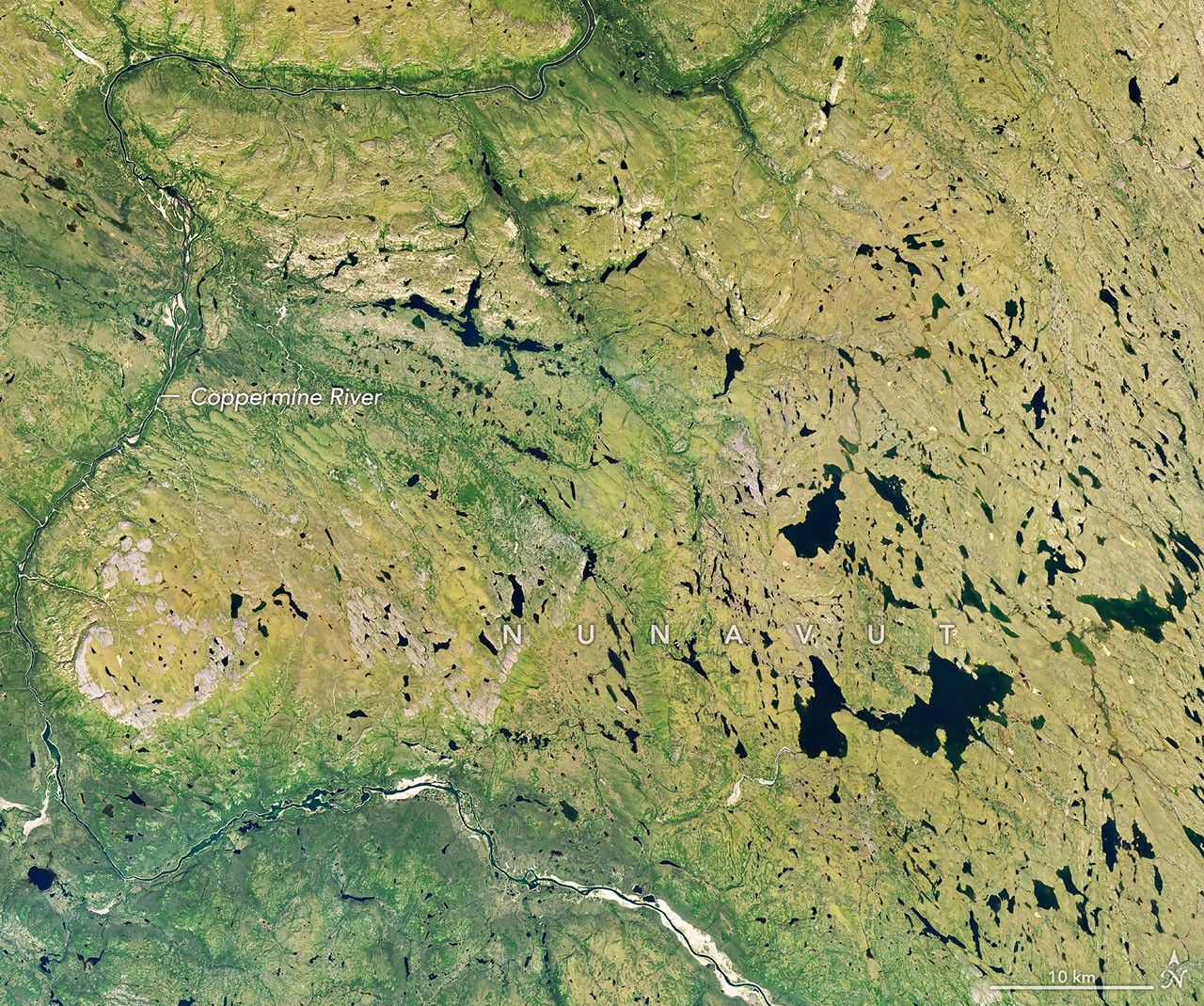
Reds, yellows, and oranges are already sweeping across tundra landscapes in Nunavut.

Mexico’s second-largest metropolitan area borders on folded rock layers of the Sierra Madre Oriental.

A powerful eruption from the Indonesian volcano lofted ash into the atmosphere, disrupting thousands of flights and degrading air quality.
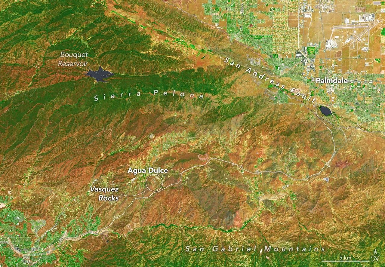
Layers of sedimentary rock that jut from the Soledad Basin at surprising angles have long enthralled television and film producers, including the team behind Star Trek.

With austral winter nearing its end, clouds cleared for a satellite view of volcanic activity in the remote South Atlantic.

The Pacific was buzzing with storms while the Atlantic was notably quiet.
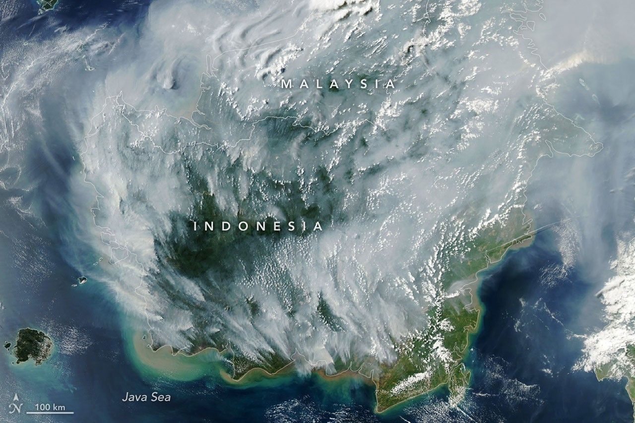
With Indonesia gripped by drought, fires are smoldering on the surface and underground.